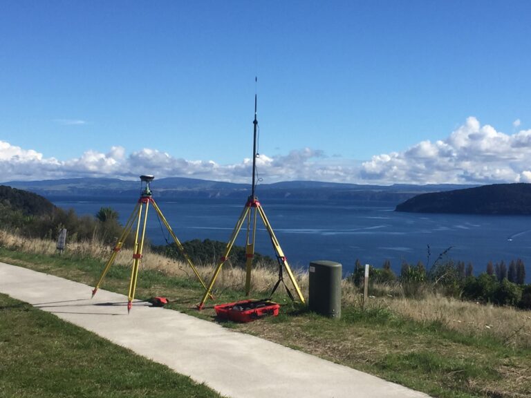
Accurate location information has become a way of life with new technology. People expect to be able to locate the nearest café or petrol station and navigate to them easily. The information within these websites and apps has been surveyed and entered into a Geographic Information System (GIS) so that it is available for this use.
Cheal has the experience and equipment required to carry out all mapping and GIS surveying. We can also take this information and put it into a system suitable for the needs of our clients. This can range from farm maps that can be utilised for farm management purposes through to GIS for large scale industrial sites.
We utilise new technology such as unmanned aerial vehicles (drones) fitted with high definition digital cameras to obtain highly accurate aerial photography. This data is then converted to points that are modeled into 3D representations of the features captured. This technology is used to capture highly accurate information over large areas and is very cost effective.
Some of Cheal’s valued mapping clients include: Ports of Auckland, Mercury Energy, Taupo District Council, Waipapa No 9 Trust and Ruapehu Alpine Lifts.
Contact:
Taupo:
Billy Greer
M: 021 303 917 | E: billyg@cheal.co.nz
Rotorua:
Nick Davies
M: 027 663 1355 | E: nickd@cheal.co.nz
Napier:
Alan Martin-Smith
M: 021 191 7929 | E: alanms@cheal.co.nz
Hamilton:
Scott Walker
M: 022 132 9669 | E: scottw@cheal.co.nz
Ruapehu:
Dean Sherrit
P: 06 385 9534 or 07 896 7641 | E: deans@cheal.co.nz


