A Geographic Information System (GIS) integrates accurate spatial information captured in the field with software, allowing us to map, model and interpret complex environments with challenging surroundings.
GIS is a powerful tool that enables users to visualize, analyse and interpret spatial data unlocking a deeper understanding of surrounding areas, map areas for comparison on sites prone to change and to envision how a project can be successfully integrated into its surroundings.
We use the latest technology, including laser scanners, drones, and GNSS systems that, combined with decades of experience allow us to safely, quickly, efficiently and accurately capture datasets to deliver digital solutions to meet your needs and add value to your projects.
GIS Services
- Geospatial Data Acquisition
As spatial experts, we can accurately capture spatial data using a variety of resources such as GNSS, drones and laser scanners. - Mapping and Cartography
Including capturing the accurate position of objects in the ground to convert into digital information.
We can develop customized web maps, apps and mobile applications for reports, analysis and presentations. - Geodatabase Development and Spatial Data Management
We can design, develop and maintain geodatabases to organise, store and manage spatial data efficiently. - Asset Management
Infrastructure mapping and management, infrastructure location optimization, asset inventory and condition assessments. - Remote sensing
Image processing and UAV applications. - Custom GIS Application Development
We can create GIS applications and integrate GIS solutions into your projects including mobile GIS and reporting.
Benefits of GIS
- Data Visualisation
Complex data sets through maps, tables and graphics which provide for a clearer understanding of the relationships and patterns that exist in the space around us and identify potential issues relating to surrounding projects. - Spatial Analysis
GIS is a powerful tool to perform analysis of spatial relationships, patterns and trends. - Data Management
Easy record keeping and maintenance of datasets. - Collaboration and Data Sharing
GIS provides a common platform for sharing spatial data. - Improved Decision Making and Communication
GIS allows access to accurate and updated spatial information. This leads to more informed and effective decision making. - Efficient Resource Management
GIS facilitates the allocation and management of different resources including infrastructure, natural resources, or optimizing logistics.
GIS helps companies and organizations make efficient use of their resources. - Cost Saving
By optimizing the analysis of the data, resource utilisation, and decision making processes, GIS contributes to cost savings.
Cheal provides this service nationwide or internationally if requested.
Contact:
Gisela Ripoll
M: 021 195 2642 | E: giselar@cheal.co.nz
GIS, helping you tell stories using maps.


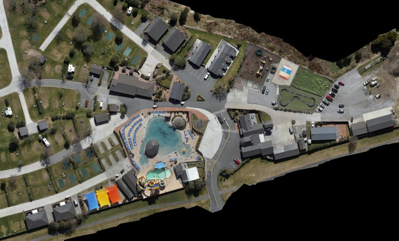
Orthomosaic used as background in an infrastructure GIS
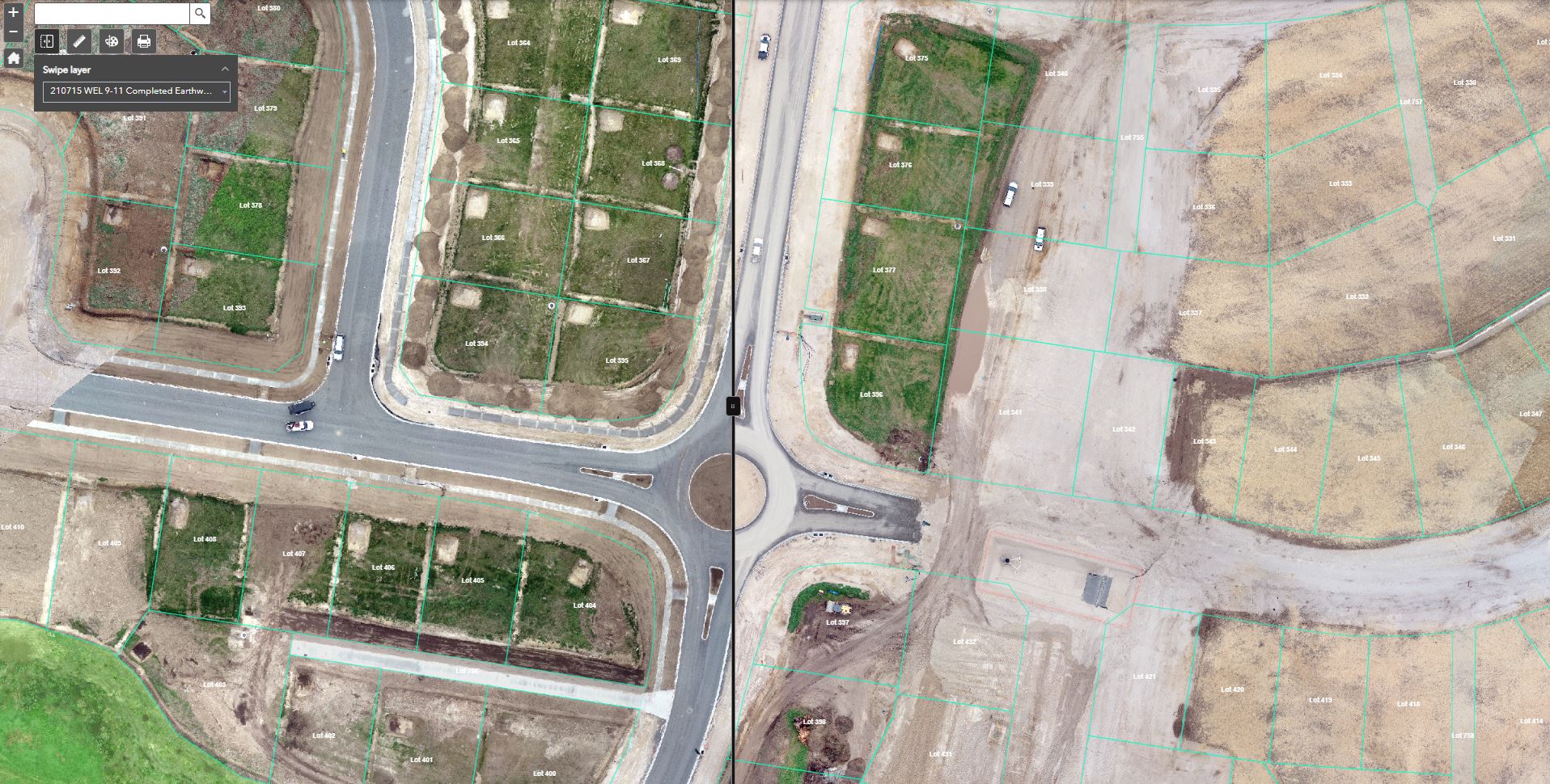
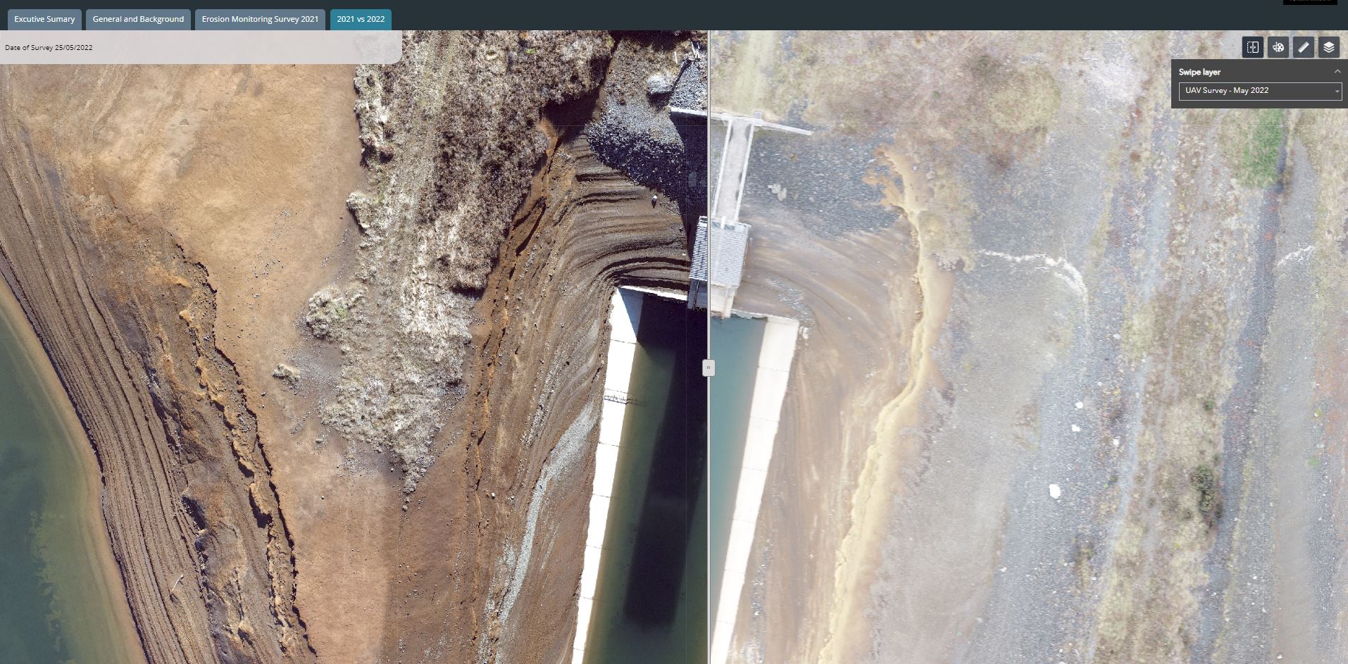
Overlapped orthomosaics in a GIS with a swipe tool to check construction progress
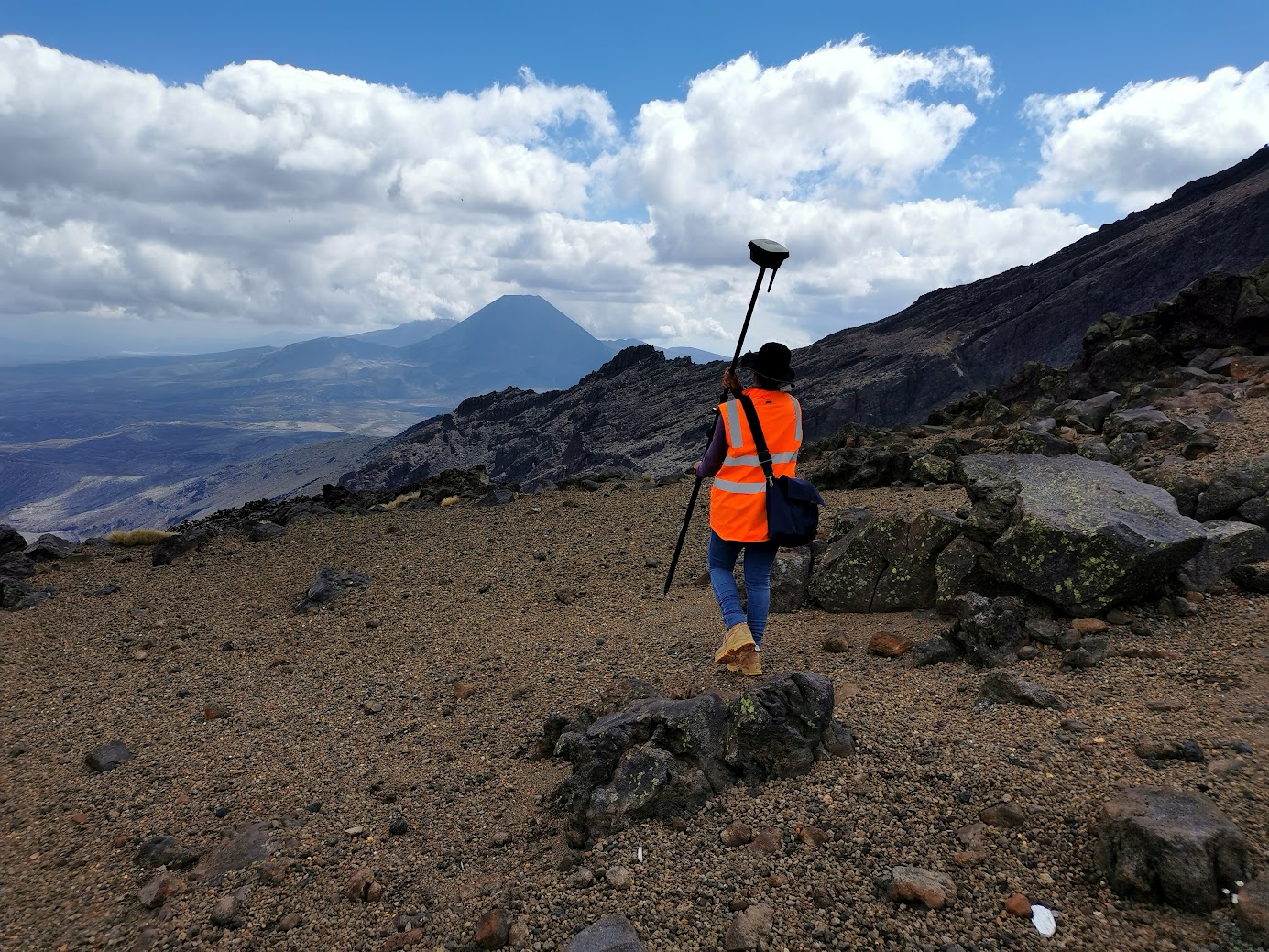
Topographic Survey to set up an Infrastructure GIS
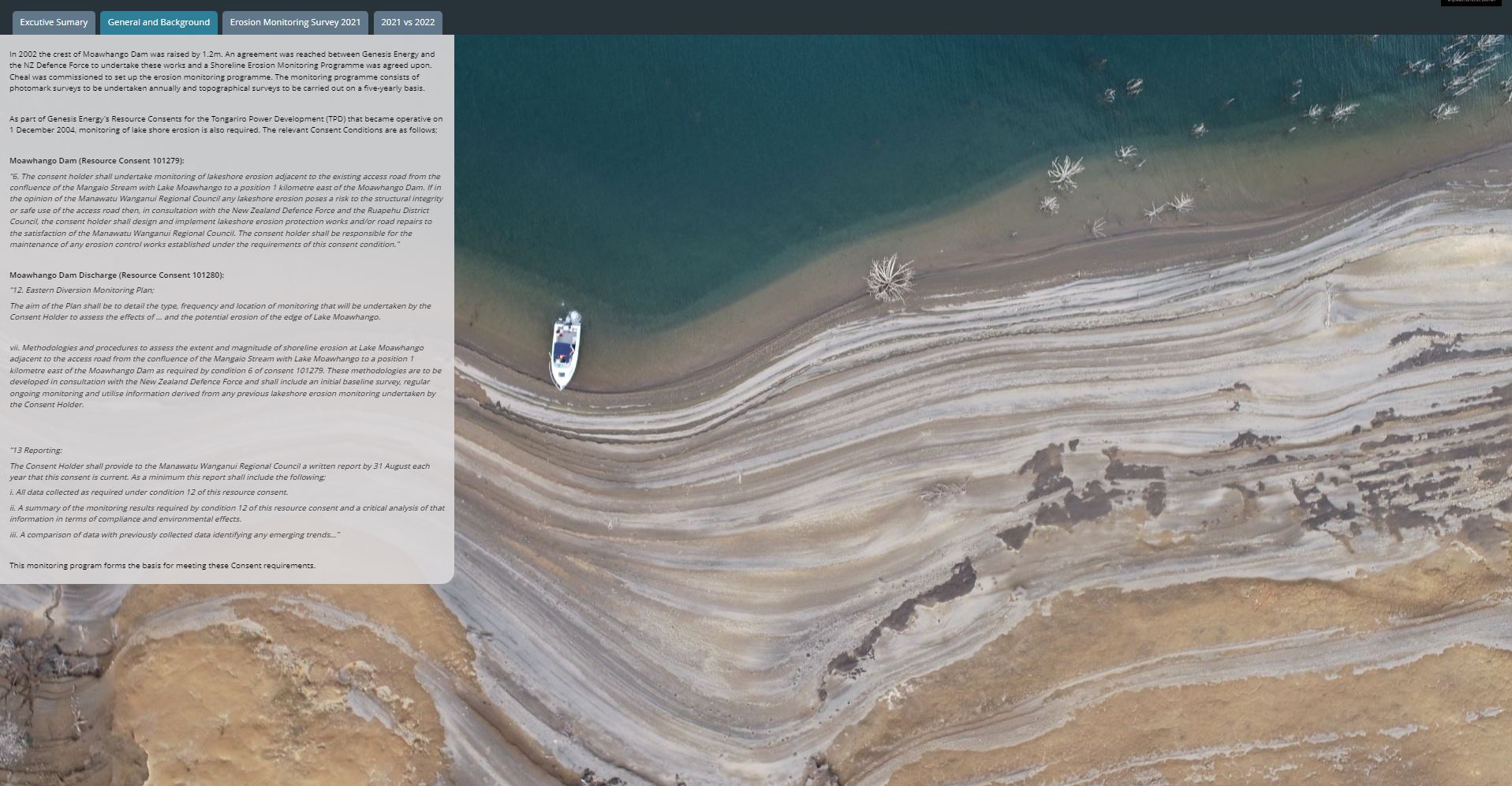
GIS for erosion control
GIS for data visualization
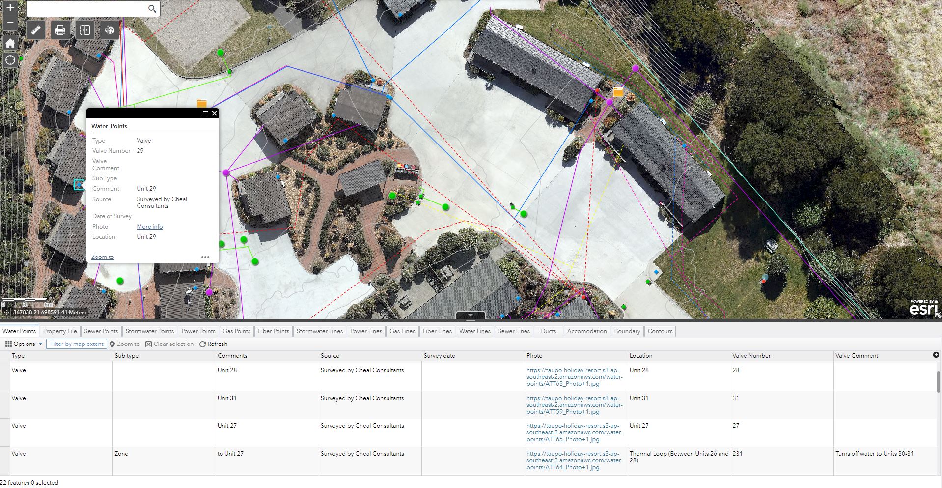
Easy record-keeping and dataset maintenance


