


Our Drone (or Unmanned Aerial Vehicle ? UAV) is going where no Surveyor has gone before
After purchasing our first drone last year, we have been pleasantly surprised at the level of interest shown by not only our team, who love new toys to play with and opportunities to explore their capabilities, but increasingly by our clients and the complex nature of many of their sites.
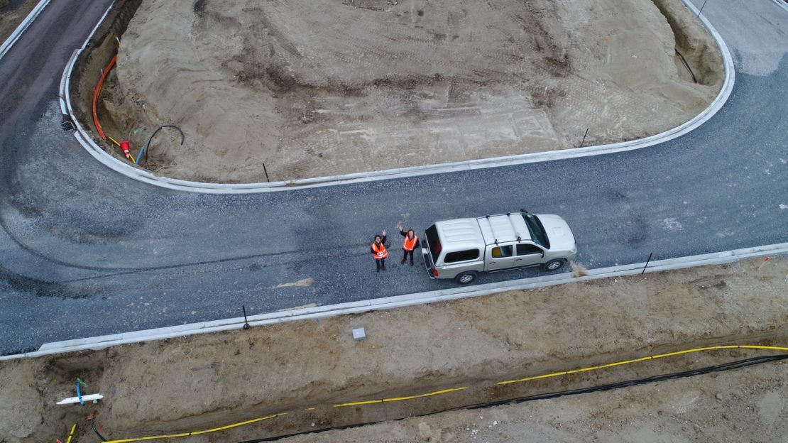
The Drone (or Unmanned Aerial Vehicle ? UAV) is equipped with a high-definition camera which provides orthorectified imagery, enabling aerial surveys of inaccessible terrain in a fraction of the time it can take using ground-based survey methods.
We are finding increasingly complex tasks are easily dealt with using the drone ? such as obtaining detailed topographical information for terrain assessment, monitoring and planning of hydro station infrastructure, volumes and as-built data for land development projects, boundary definitions, farm and forestry mapping.
Drone flying is safe for our employees in otherwise difficult or dangerous situations. It?s a smart tool providing accurate and detailed information. If you?re thinking whether to drone or not to drone, why not ask us the question.